Service
Remote Sensing & Google Earth Engine
Satellite imagery analysis from download to final map, including Earth Engine apps anyone can open.
What I deliver
- Land cover and change detection
- Burned area, vegetation (NDVI and other indices) and water monitoring
- Google Earth Engine scripts and public Earth Engine Apps
- Image processing in QGIS and ArcGIS Pro
- Time series charts and reports
Tools
Google Earth Engine (JavaScript and Python), QGIS, ArcGIS Pro, Sentinel, Landsat, MODIS
Related projects
 Featured
Remote Sensing & GEE
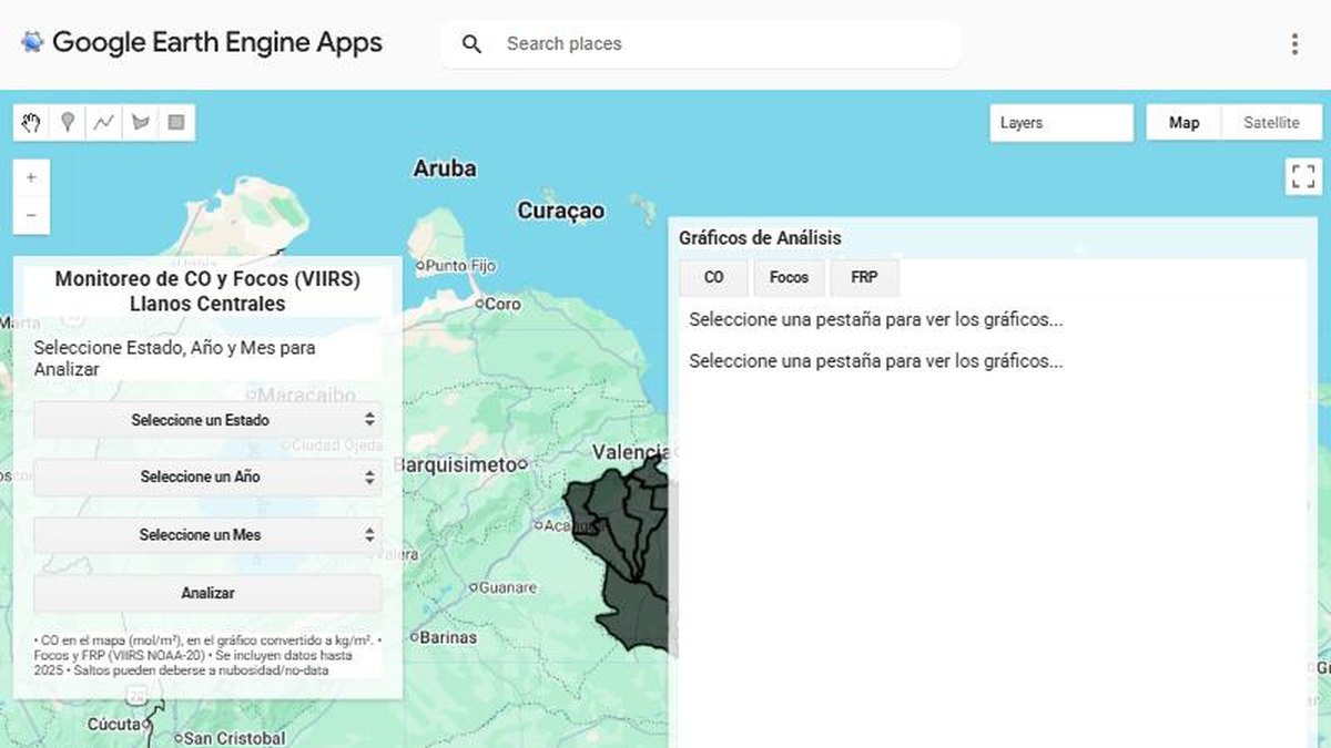
Fire monitoring app for the central Llanos with Google Earth Engine
A web app that counts fire hotspots and tracks carbon monoxide for any state, year and month, with charts generated on demand.
Remote Sensing & GEE
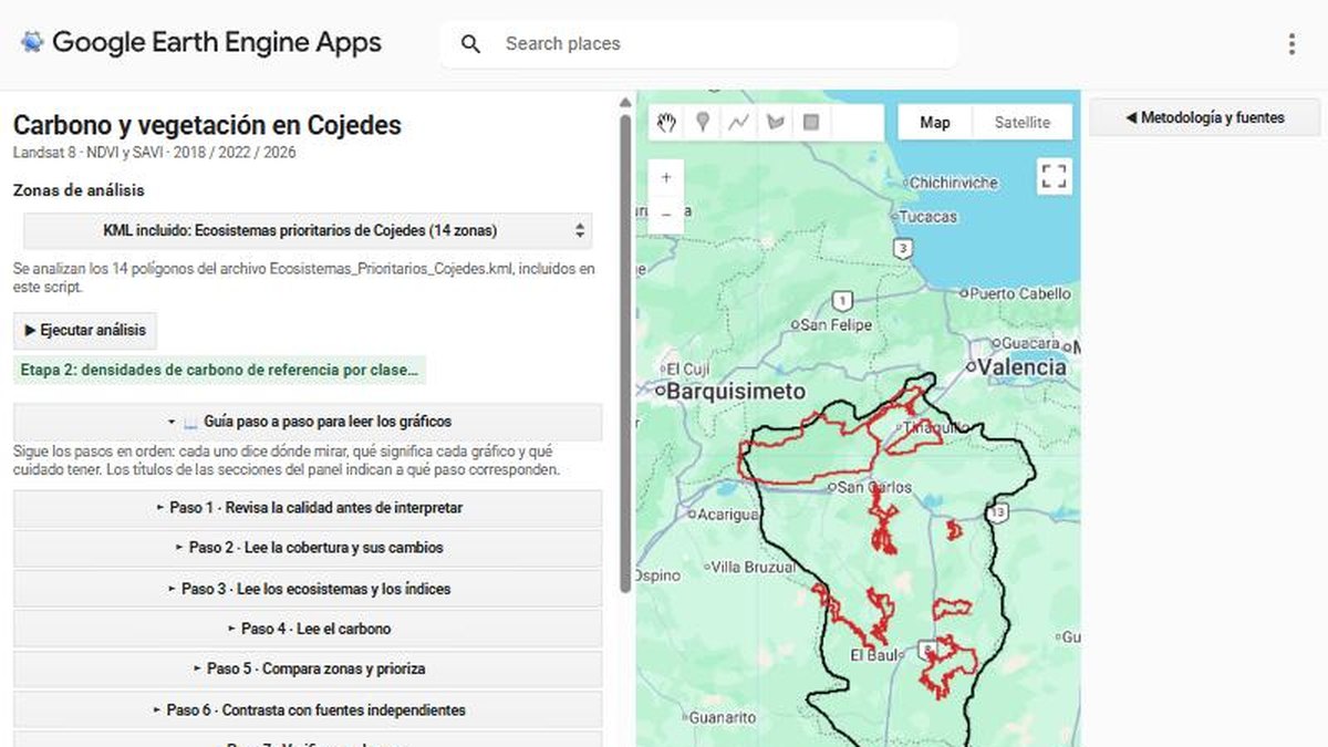
Carbon and vegetation analysis for priority ecosystems in Cojedes
A Google Earth Engine app that reads vegetation indices and carbon densities across 14 priority ecosystem zones, with a step-by-step guide.
Next step
Need something similar?
Tell me about your data and your goal. I will reply with a clear approach, timeline and quote.